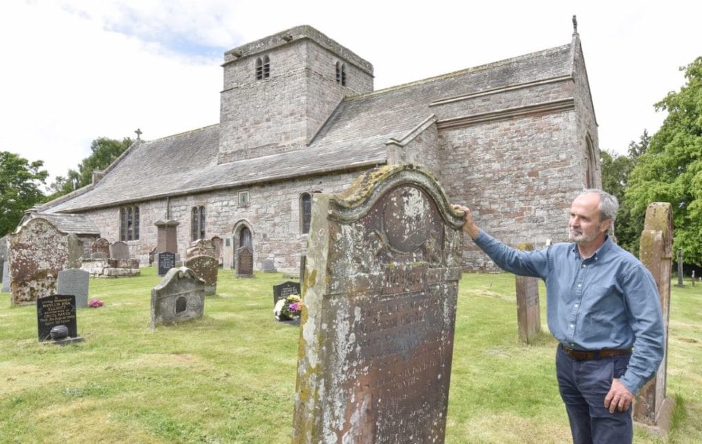
A world-first is set for Cumbria as an innovative Penrith firm will use cutting edge technology to map England’s burial grounds.
Atlantic Geomatics, based at Skirsgill Business Park, has landed its most significant contract to date which will see teams spend the next seven years mapping the Church of England’s graveyards to an accuracy of 15cm.
This, combined with church records and photographs of headstones, will create an online database which the public can access, revolutionising studies of genealogy for the nation.
There is no comprehensive list of burial grounds across the country so, starting in July, teams will go from area-to-area mapping thousands of sites — starting in Cumbria.
Tim Viney, the company’s founder and chief executive, said: “I really wanted Cumbria to be first so we can fly the flag for this completely unique project.
“It’s a very exciting opportunity and definitely a challenge also. There is still so much to do for this dynamic and exciting world-first.
“It has taken five years getting everything in place. This was a lot of time, persistence, effort, and investment but we signed the official contract in February.”
At its peak, the operation will involve 20 to 30 people mapping 10 burial grounds per day.
This is possible due to the development of new technologies, such as the Pegasus backpack – a device that takes 300,000 measurements every second.
Tim joked: “It’s just one person with a very expensive rucksack.”
He added that the maps themselves go far beyond the traditional confines and include everything from heights of gravestones and buildings to the site’s biodiversity and burial data.
This is thanks to specialist technologies which transcribe church records and photographers capturing individual gravestones to preserve the text digitally from erosion.
“As soon as you publish a map, it’s out of date,” said Tim. “But this will be a live, dynamic system that individual churches can change when a tree is cut down or a new one is planted for example.”
After a career abroad, Tim returned to the UK and founded the company in 2002 with three employees. Now, almost 20 years later, it is the largest company of its type in the north of England.
It has conducted significant projects already, such as the mapping of Gibraltar on behalf of its government, which took five years and used aerial data.
As part of trialling the technology and developing prototypes, Atlantic Geomatics has already mapped around 120 burial sites on an ad hoc basis, from Dalston, near Carlisle, to Highgate in London, where the likes of Karl Marx, Douglas Adams and George Michael are buried.
So far, the oldest gravestone that has been mapped is more than 450 years old, being erected when Queen Elizabeth I was on the throne.
Although the contract is designed primarily to manage the Church of England’s assets, the scope for historical research is vast. Tim has already been contacted by people as far away as Australia who are keen to know more about personal family histories.
This is a huge change from traditional methods of mapping graveyards which involve paper records and measuring the ground in paces to find available space.
The mapping arm will act as a separate entity to the core business which will continue providing a range of geo-spatial surveys to public and private organisations.
Tim has just conducted initial interviews for his team and is keen to get local people involved.
He said: “I think it’s really important to employ local people because there is so much great talent around. I’m also trying to partner with universities to potentially get students placements with us to maintain the dynamic face of the business with all the fresh ideas they bring.
“A couple of years ago we went into Ullswater Community College and mapped the school ground with pupils which was really rewarding for us as well as them.
“My role is now very much strategic; I’m focusing on the overall vision for projects and the future of the business.”


